![]()
Mt Redoubt: Northeast Face
Fraser Valley Regional District County, British Columbia
Uploaded by Bivy Team
14 :24 hrs
17 mi
6307 ft
II
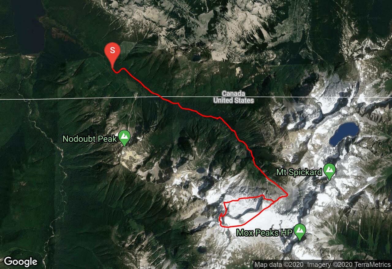
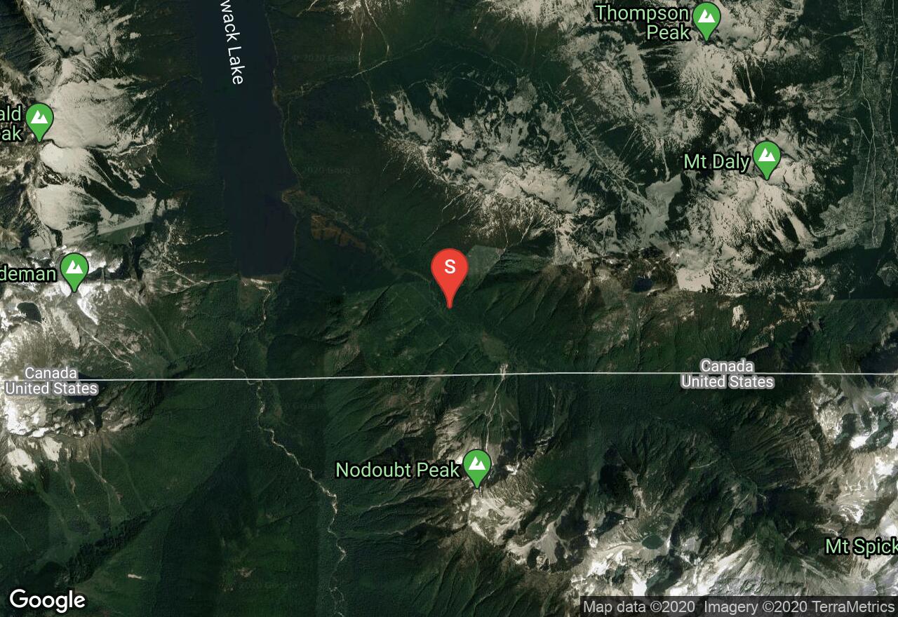
The Northeast Face route on Mt Redoubt is a challenging climb with a long but scenic approach in a very remote area. The trailhead for the Depot Creek route is located near Chilliwack Lake, B.C., so if coming from the U.S., be sure to have all of the appropriate camping permits and border crossing documents before leaving. At the border crossing, leave behind the old logging road and begin on a trail that leads to the spectacular Depot Creek Falls. The trail continues on the left side of the falls with some fixed ropes to assist climbing over the slippery rock. Above the falls is a large wet meadow which you avoid by way of the talus slopes on its northeast side. Good camping is found at Lake Ouzel, but the water is full of glacial flour. To reach the bottom of the face, weave through cliffs west of the lake to reach a traverse leading west to the Depot Glacier, which is heavily crevassed. Find a narrower lobe of the glacier on its far western end. The lobe forms a snow/ice apron that leads to a relatively level ridge with a large snow/ice arête. The apron has several large crevasses/bergschrunds that should be avoided. From the snow arête, enter the snow/ice gully that leads to a gap southeast of the summit. From the gap, traverse west to join the South Route in the gully on the South Face. At the top of the gully, go onto the north side briefly and scramble up the West Ridge to the summit. Return via the South Route over the Redoubt Glacier to Lake Ouzel. Even though there is little actual rock climbing on the route, it's a good idea to bring some rock protection for the narrow gully, in addition to glacier travel gear and ice screws, pickets, and a second ice tool.
2 photos
[{"url":"https://images.bivy.com/lgMap/630004.jpg"},{"url":"https://images.bivy.com/lgTrailMap/630004.jpg"}]
Mt Redoubt: Northeast Face | Fraser Valley Regional District County, British Columbia
The Northeast Face route on Mt Redoubt is a challenging climb with a long but scenic approach in a very remote area. The trailhead for the Depot Creek route is located near Chilliwack Lake, B.C., so if coming from the U.S., be sure to have all of the appropriate camping permits and border crossing documents before leaving. At the border crossing, leave behind the old logging road and begin on a trail that leads to the spectacular Depot Creek Falls. The trail continues on the left side of the falls with some fixed ropes to assist climbing over the slippery rock. Above the falls is a large wet meadow which you avoid by way of the talus slopes on its northeast side. Good camping is found at Lake Ouzel, but the water is full of glacial flour. To reach the bottom of the face, weave through cliffs west of the lake to reach a traverse leading west to the Depot Glacier, which is heavily crevassed. Find a narrower lobe of the glacier on its far western end. The lobe forms a snow/ice apron that leads to a relatively level ridge with a large snow/ice arête. The apron has several large crevasses/bergschrunds that should be avoided. From the snow arête, enter the snow/ice gully that leads to a gap southeast of the summit. From the gap, traverse west to join the South Route in the gully on the South Face. At the top of the gully, go onto the north side briefly and scramble up the West Ridge to the summit. Return via the South Route over the Redoubt Glacier to Lake Ouzel. Even though there is little actual rock climbing on the route, it's a good idea to bring some rock protection for the narrow gully, in addition to glacier travel gear and ice screws, pickets, and a second ice tool.